Expertise in
A Melbourne based geoconsultancy that rocks and technology.

3D Modelling & Structural Geology
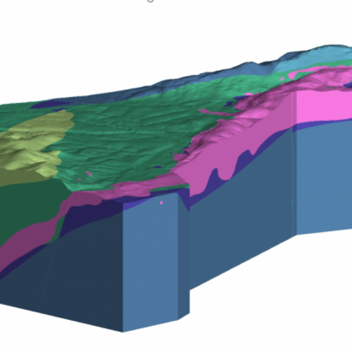
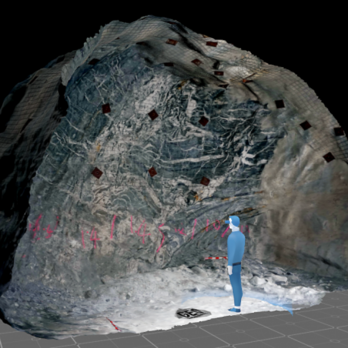
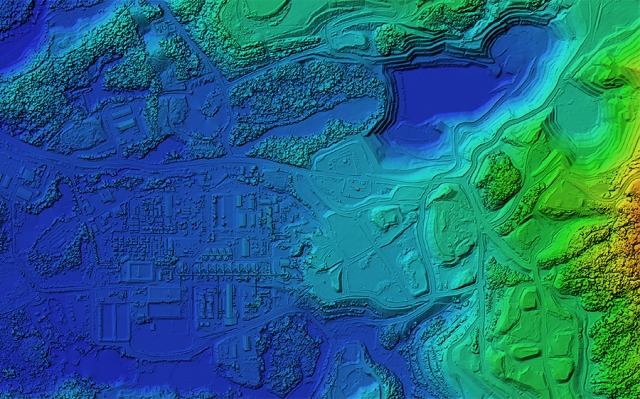
Need a 3D geological model of your ore deposit? Do you want to get a better understanding of the structural framework of your deposit? Do you want to impress investors with a 3D animation or fly-through video of your deposit? Or maybe you would like to visualise your deposit in Virtual Reality / Augmented Reality at the next trade show?
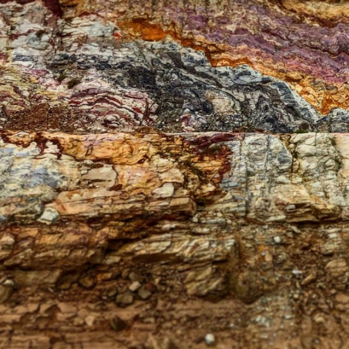
Geodimensional has many years of experience in 3D modelling/visualisation & structural geology in a range of deposit types such as orogenic gold, Carlin-type gold, intrusion-related copper, pegmatite-hosted lithium, carbonate-hosted iron ore and halite.
Digital Photogrammetry
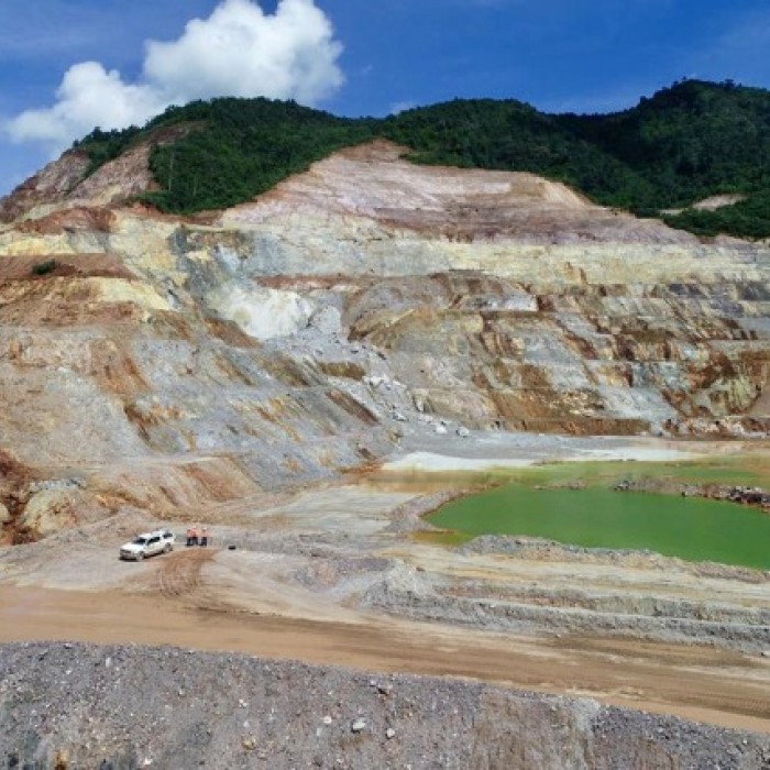
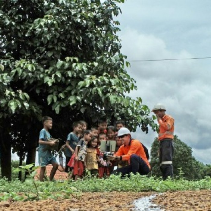
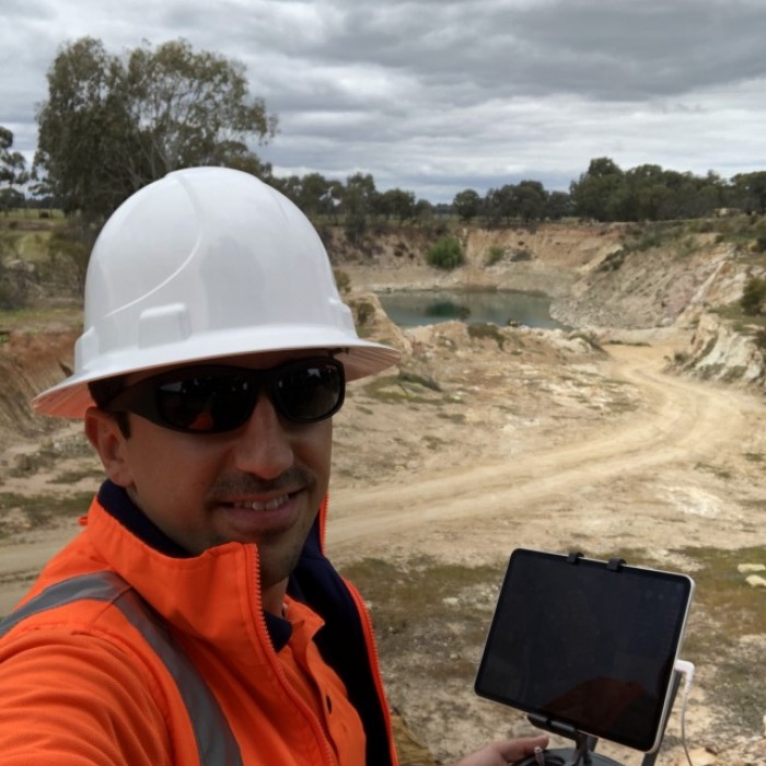
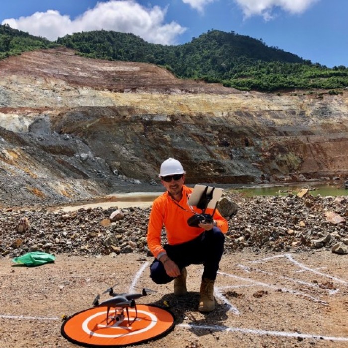
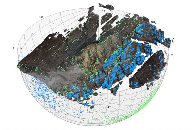
Digital photogrammetry (aka SfM = Structure-from-Motion) is a technique which allows to compute accurate, photorealistic and high-resolution 3D models from a series of overlapping digital photographs. Photographs can be acquired by hand with a digital camera or by Unmanned Aerial Vehicle (UAV aka drone). SfM models can be used for various purposes such as remote pit face mapping or stock pile volume estimation. Geodimensional provides UAV photogrammetry services as well as training sessions that will cover the complete (UAV) photogrammetry workflow including capturing imagery, generation of 3D models (with Agisoft Metashape) and best use of SfM datasets.
Rock Mapper
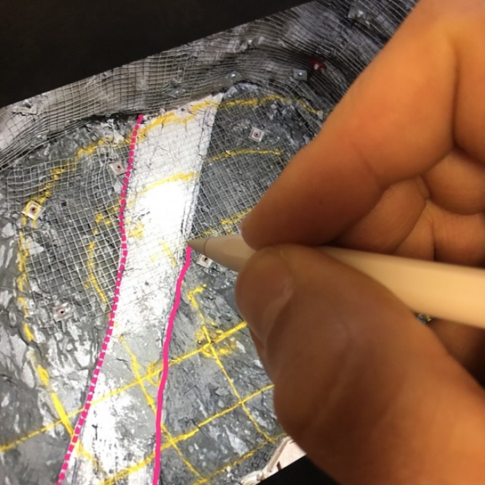
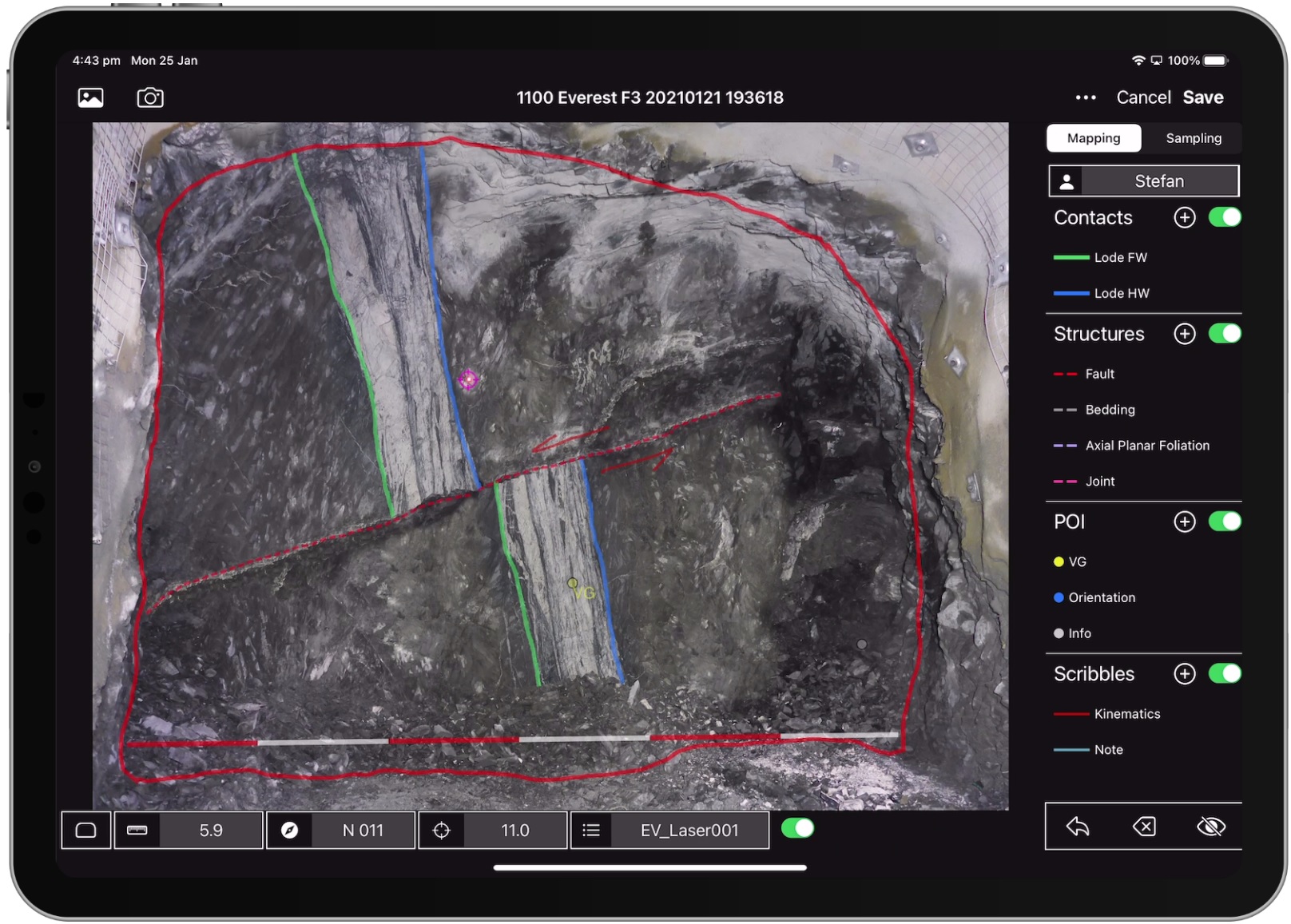
Rock Mapper (www.rockmapper.net) is an iPad app which was designed to streamline and simplify the daily tasks of an underground mine geologist. It allows to georeference and directly map onto a face photograph, all while underground at the rock face. It's also a tool to record face samples (channel samples as well as grab samples). All data is then wirelessly synced via the cloud and available for 3D geological modelling, resource estimation and mine planning purposes in near real-time. Since September 2020 a newly founded company called Rock Mapper Pty Ltd is managing the Rock Mapper app development and sales.
Casper
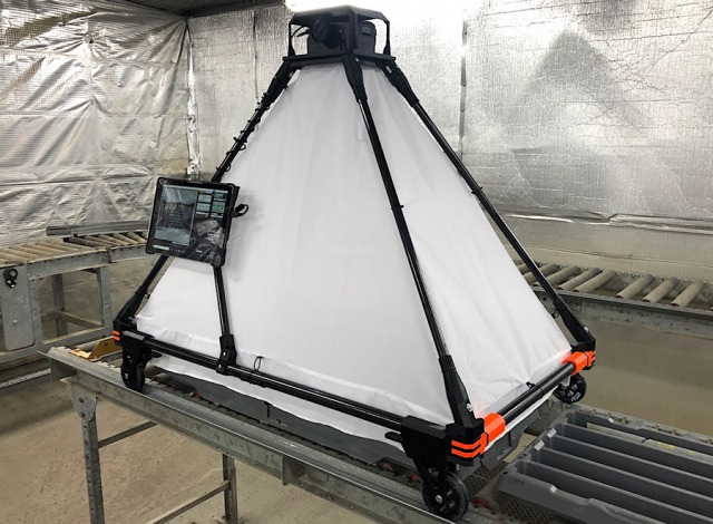
Core photography is a key part of any drilling campaign and has become more important in recent years due to the advent of machine learning (ML) workflows which are able to extract data from digital photographs.
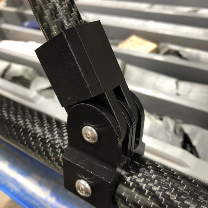
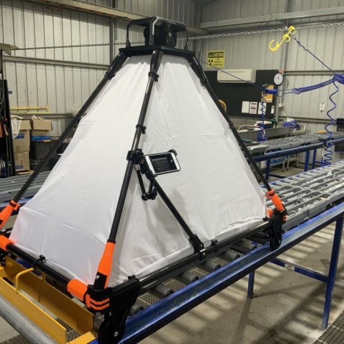
Geodimensional has developed a practical core photography solution called CASPER (www.casper.rocks). It allows to capture high-quality digital photographs of core trays. Casper is easy to use, light-weight, can be flat-packed and only requires a single hex key (included) for assembly. It has been field-tested and got the thumbs-up from logging geologists.
