G'Day mate

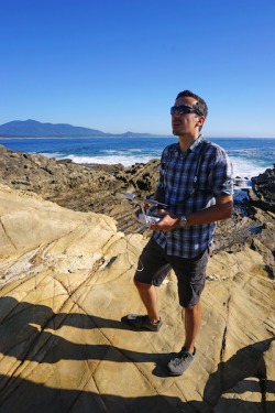
Prior to commencing a PhD and Post-doc at Monash University (Melbourne, Australia), Stefan was working as a geologist for mine-IT. In total he has been active in the field of mining geology for almost 20 years and exposed to various ore deposits types such as orogenic gold, intrusion related gold, V(H)MS as well as iron ore, halite and pegmatite hosted lithium.
During all these years Stefan has developed strong skills in the spatial analysis of geological data, especially lithogeochmical and structural data from drillholes (using Leapfrog Geo).
If you have drillhole data and/or structural data and/or mapping data that needs some 3D modelling love then get the Geodimensional experts to work on it.
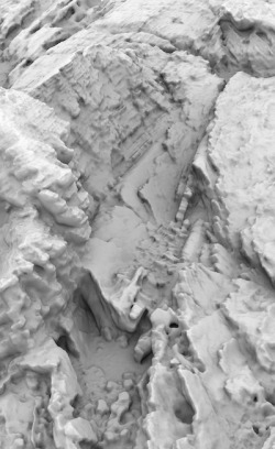
High quality 3D geological models allow to make better informed decisions in both data-rich environments such as near-mine exploration projects and greenfield exploration projects. By applying first principle structural geology techniques even in data-poor environments valuable insight about the overall structural framework and potential control on mineralisation can be won.

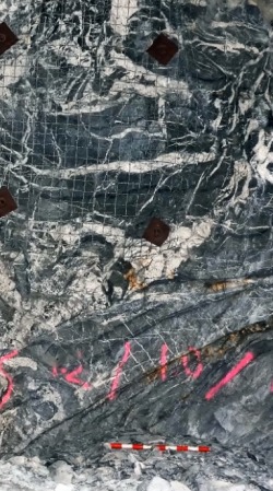
Geodimensional is constantly aiming to incorporate relevant peer-reviewed research into interpretations but at the same time keeping an open mind when it comes to 'alternative explanations'. Ore deposits are complex systems, and ultimately a mutlitude of processes have influenced them. For many of these there is field evidence available, but the goal is to identify and separate the important ones without getting lost in S7, S8 and S9.
AR is a technology that enables a smartphone or tablet to place any virtual 3D object (e.g., a 3D geological model) in the real world. Conveying the message & selling your point to the audience is pivotal and as important as a sound geological understanding and the 3D modelling process itself. And AR might just help you with that.Animations and fly-through videos. Tick. Easy to understand graphs, figures and stereonets. Tick. Augmented reality (AR). Tick.

Geodimensional is strongly driven by its core values.
Integrity
Respect
Honesty
Positivity
Quality
Passion
Innovation
Teamwork
Please get in touch if you are interested in Geodimensional's products and services.
